
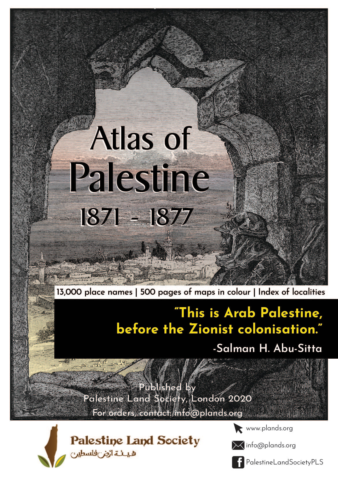
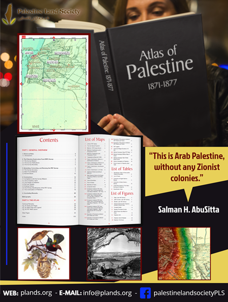
New Publication of Palestine Land Society (PLS).
We are pleased to announce the publication of this Atlas, after several years of research. It has been presented at the office of PEF and for CBRL at the University of London in February 2020. Please see the lectures at:
http://www.plands.org/en/articles-speeches/speeches/2020/the-survey-of-western-palestine-revisited
http://www.plands.org/en/articles-speeches/speeches/2020/the-survey-of-western-palestine-revisited
- The Atlas shows Arab Palestine before the Zionist colonization of Palestine. It has 13,000 names of towns, villages and places. There was not one Zionist colony.
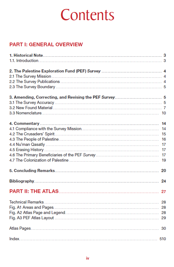
- The atlas consists of 600 pages, all in colour, 115gm paper, 24x 34 cm page size. Cover black industrial leather. Weight 2.5 kg net. It has an index of 13,000 names.
- The Atlas is based on the British Survey (SWP) organized by Palestine Exploration Fund (PEF), after having been checked for accuracy of maps and name correction. Also the Atlas has added hitherto original maps and data not used before.
PLEASE NOTE: we only deliver to UK and Europe. Details of stockists for other regions can be found at the Palestine Land Society’s website: www.plands.org






Reviews
There are no reviews yet.